Table of Contents
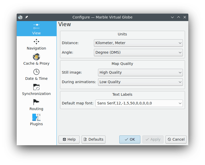
- Distance:
The unit that gets used to measure altitude, lengths and distances (e.g. km, mi, ft).
- Angle:
Specifies the notation of angles in coordinates: By default the Degree-Minute-Second notation (e.g. 54°30'00" ) gets used. As an alternative you can choose decimal degrees (e.g. 54.5°).
- Still image:
Specifies the map quality that gets displayed while there is no user input. Usually this allows for high map quality as speed is no concern.
- During animations:
Specifies the map quality that gets displayed during map animations (e.g. while dragging the globe). Especially on slow machines it is advisable to set this option to Low Quality as this will give better speed.
- Default map font:
The default font that gets used on the map.