The Plugin Configuration widget is the place to activate (or deactivate) Info Boxes, Online Services and other plugins that affect the look of Marble. Active plugins appear in the View menu where you can toggle their visibility.
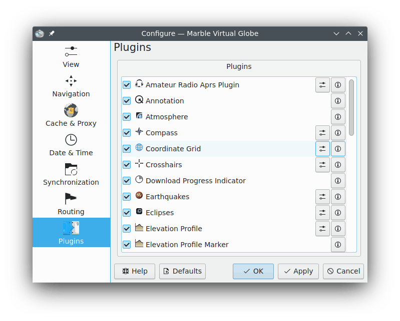
Each plugin can be activated and deactivated using the check box on the left. Some plugins provide further configuration options which are accessible by clicking on the tool icon on the right.
- Amateur Radio Aprs Plugin
Retrieves data from the Automatic Packet Reporting System via the Internet, a file or a serial device. The position and status of data senders is displayed in the map and updated in real-time.
- Annotation
Allows you to add annotations on the maps.
- Atmosphere
Displays atmosphere effects.
- Compass
Shows a compass in the map.
- Coordinate Grid
Displays a coordinate grid (you can choose the colors of the grid lines).
- Crosshairs
Enable this to display a small crosshair in the center of the map.
- Download Progress Indicator
A pie chart on top of the map that shows the progress of ongoing downloads.
- Earthquakes
Displays the earthquake markers on the map.
- Eclipses
Displays the data about Solar and Moon eclipses.
- Elevation Profile
Displays the elevation profile overlay for the routes on the map.
- Elevation Profile Marker
Marks the current elevation of the elevation profile on the map.
- GpsInfo
Displays a float item that provides GPS information.
- License
Displays a float item that provides copyright information.
- Measure Tool
The plugin to measure distances between two or more points.
Displaying of the distance and the bearing between the points can be configured after pressing the tool icon. It is enough to check the corresponding item to make Marble show the labels or uncheck the item to hide the labels.
- Navigation
Displays the mouse control to zoom and move as float item on the map.
- OSM Mapper Notes
Implementation of geocoding notes.
- OpenDesktop Items
Shows OpenDesktop users' avatars and some extra information about them on the map.
- Overview Map
This is a float item that provides an overview map.
- Photos
Automatically downloads images from around the world in preference to their popularity.
- Places
Displays trending Foursquare places.
- Position Marker
Draws a marker at the current GPS position.
- Postal Codes
Shows postal codes of the area on the map.
- Routing
Displays the routing information and navigation controls.
- Satellites
Displays the Earth and other planets natural and artificial satellites and their orbits.
- Scale Bar
This is a float item that provides a map scale.
- Speedometer
Displays the current cruising speed. Needs some GPS data.
- Stars
A plugin that shows the Starry Sky.
- Sun
A plugin that shows the Sun.
- Weather
Downloads current weather information of cities and displays them in the map.
- Wikipedia Articles
Automatically downloads Wikipedia articles and shows them on the right position on the map.