As mentioned already Marble always displays a dynamic scale bar on the lower left to estimate distances on the map. Together with the windrose in the top right corner these overlays are provided for better orientation. But there's more: Marble allows you to measure distances between two or more points on earth. To do so click the respective points in correct order on the globe using the mouse button. On each click a popup menu will appear which allows you to add a measure point () or to remove all measure points altogether ():
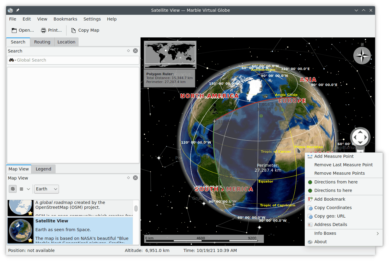
Once you have added at least two measure points, the total distance will be displayed in the top left corner of the map. Marble will assume a spherical earth for all measurements which should be accurate enough for most cases.
Tip
Displaying of distances and bearings for the measured segments can be configured using Measure Tool configuration dialog.